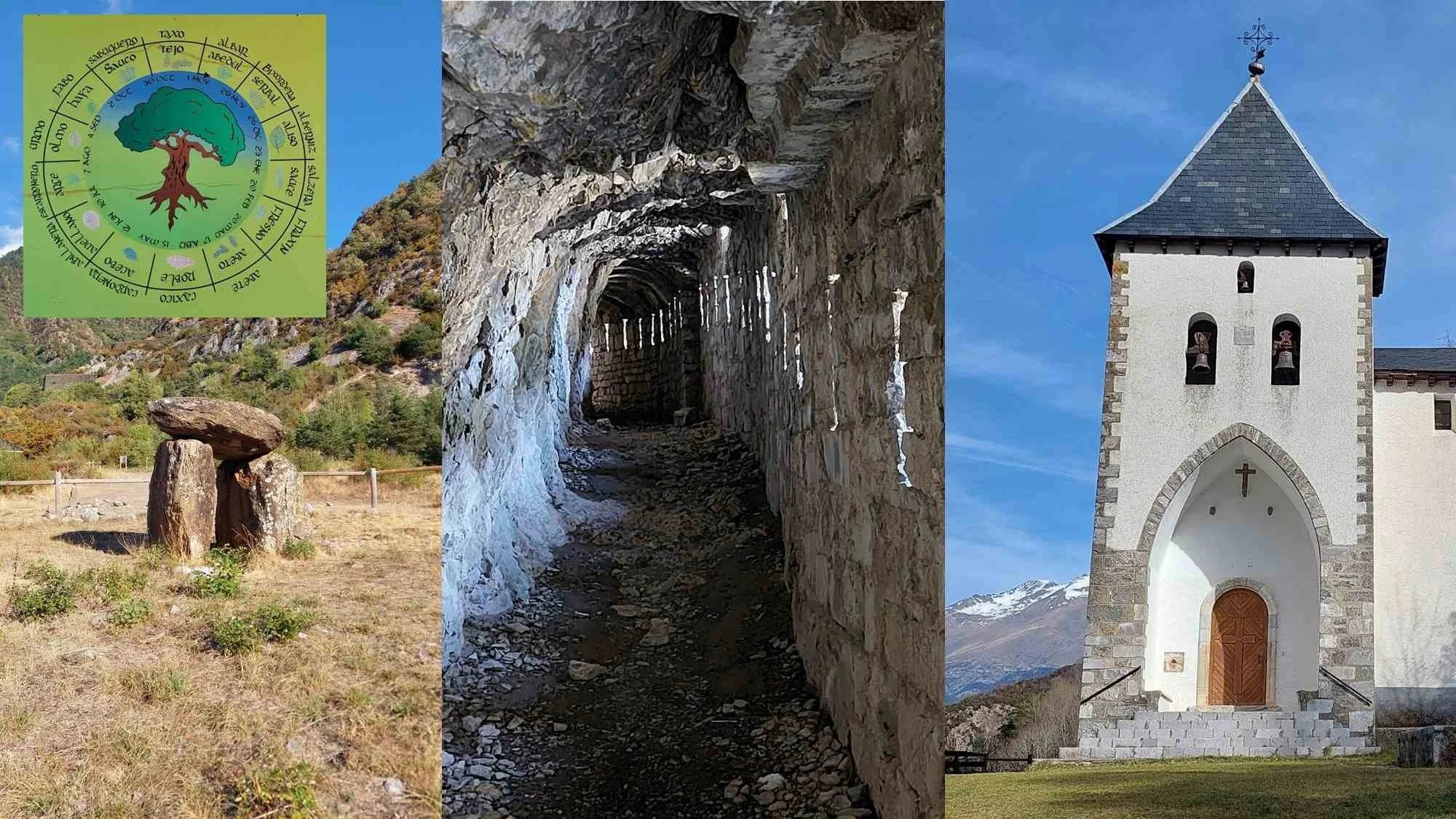
Drive 4 kilometres north of Biescas in the Spanish Pyrenees, glance to the right, and you will see a car park and a side road to Santa Elena. Take a break, stretch your legs and discover disappearing dolmens, a Celtic calendar, a 16th-century fort and some of the extraordinary Pyrenean defences built by Franco at the end of the Second World War.
From the car park, cross a bridge over the Gállego and walk 400 metres into a field. This is where, in 1933, a doctor from Biescas discovered two dolmens dating from around 3000 BCE. But then came the Spanish Civil War, and in 1937 the Republicans captured Biescas during a seven-week offensive which cost the lives of 6,000 men. Somehow, both dolmens went missing, and they were presumed to be lost for good. Then, in 1975, Huesca Museum and Biescas town council found the stones of one dolmen and put them back together again.
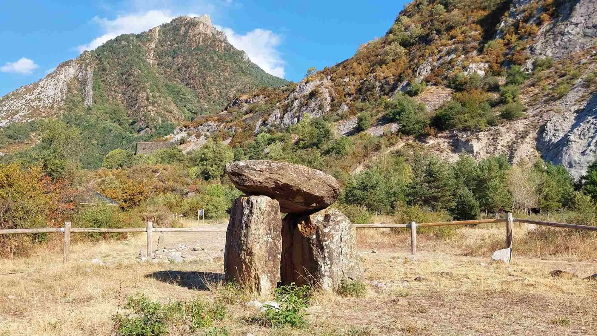
Dolmen I at Santa Elena was rediscovered in 1975
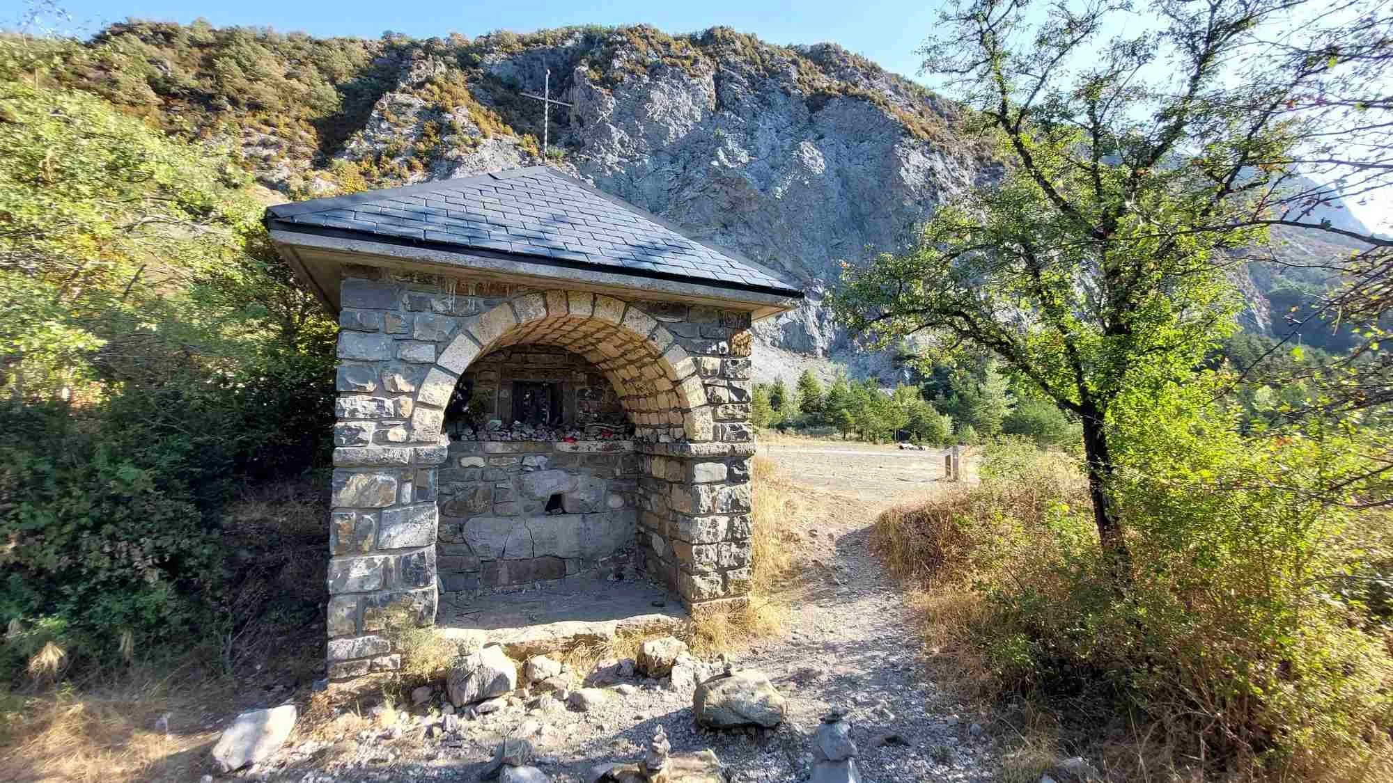
Chapel of Santa Engracia, restored in 2011
Nearby stands a small chapel. It was restored in 2011, and when the old folk from Biescas came to see the result, they said, oh yes, the second dolmen used to be just behind the chapel. Disappointingly, an archaeological dig failed to find anything. Then, in 2018, a local historian discovered some old photographs of the site. These helped him to pinpoint the precise location of the dolmen, and as soon as his team started digging, they found it. And there it stands today, although the capstone is missing.
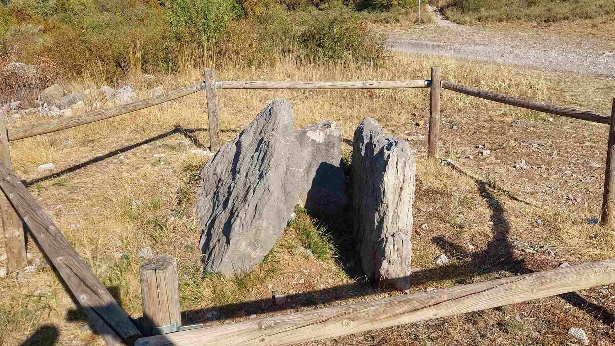
Dolmen II at Santa Elena was rediscovered in 2018
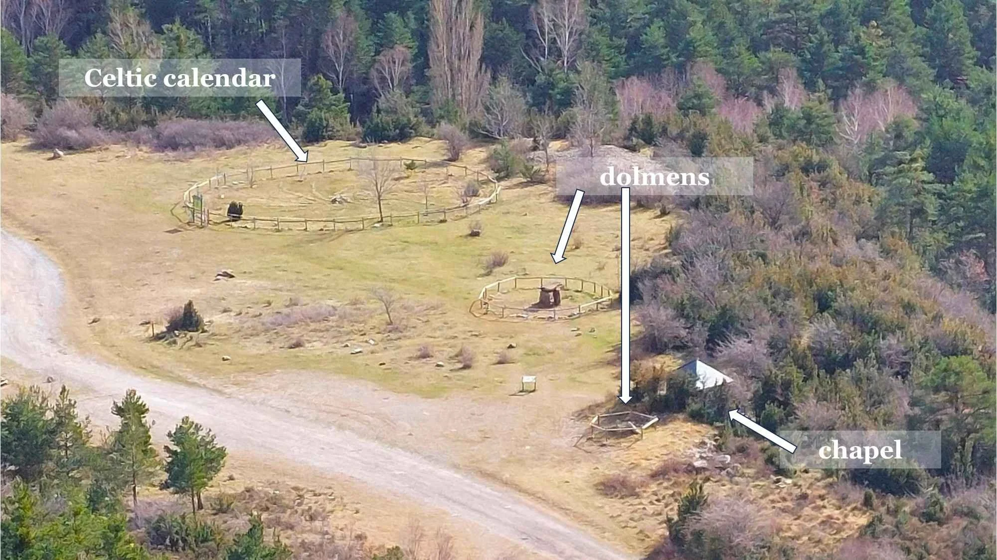
The dolmen site viewed from the Fort of Santa Elena
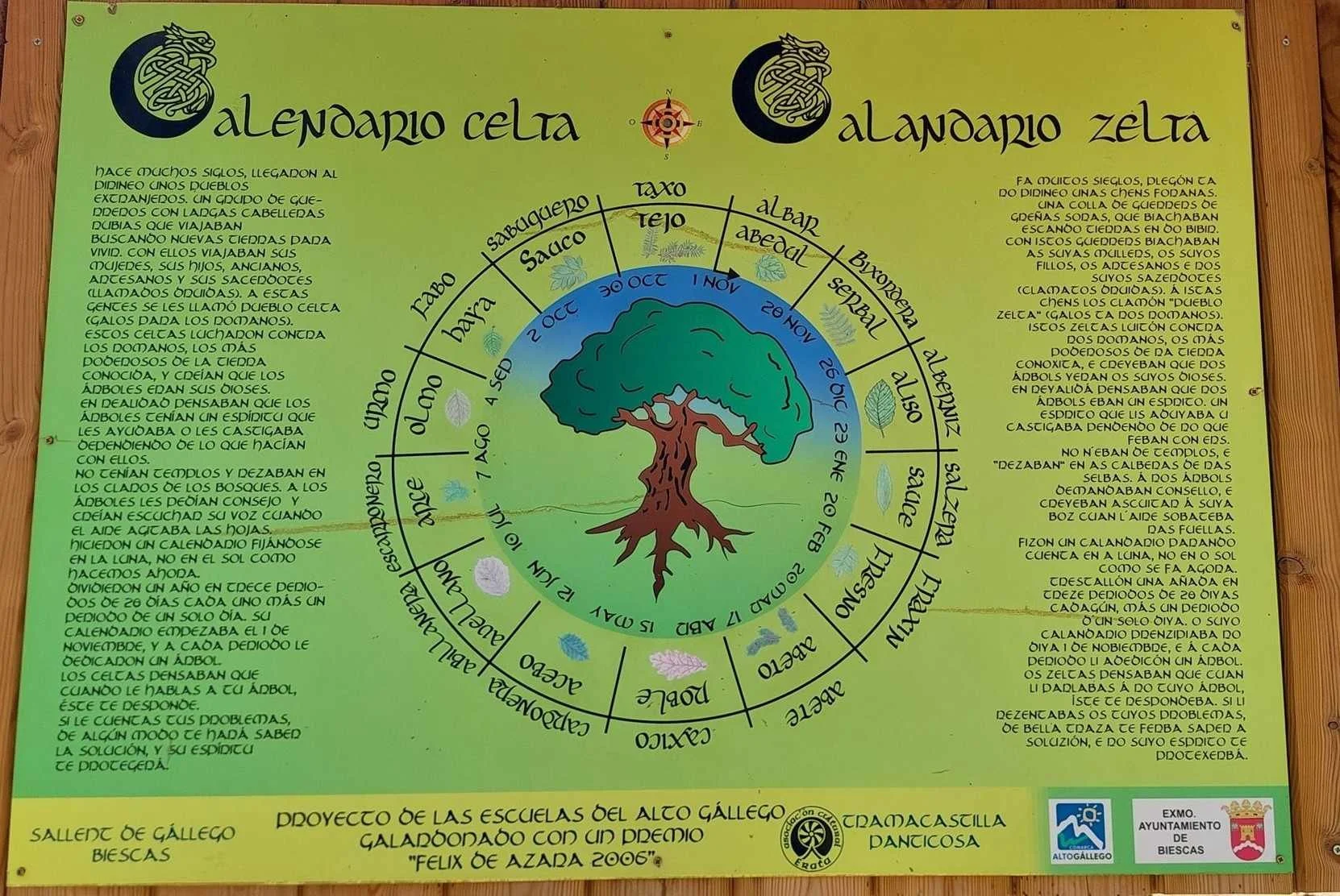
Perhaps believing they were adding to the prehistoric ambiance, local schoolchildren built a Celtic tree calendar nearby. They marked out a circle, divided it into 14 sectors and planted a specific type of tree in each one: rowan, alder, willow, ash, fir, oak, holly, hazel, maple, elm, beech, elder, yew and birch. Although the Celts worshipped trees, the concept of the Celtic tree calendar was invented in 1948 by the British writer Robert Graves. As for the list of trees, there are numerous variations.
Once you have finished adding the names of 14 trees to your Spanish vocabulary, head back towards the car park, but before you reach the river, turn right and start climbing a twisty road. At the first right-hand bend, branch off and follow a path through scrubby vegetation. Below a long section of overhanging cliff, a thick stone wall creates a narrow passageway. Squeeze inside and shuffle along in the half-light, pausing now and again to peer out through two dozen loopholes which gave riflemen a clear line of fire onto the main road less than a hundred metres away. A little further, and the path reaches a pair of anti-tank bunkers, faced on the outside with massive blocks of stone cut from the surrounding cliffs. Go inside, stand on the artillery platform and look up the valley towards the Col de Pourtalet.
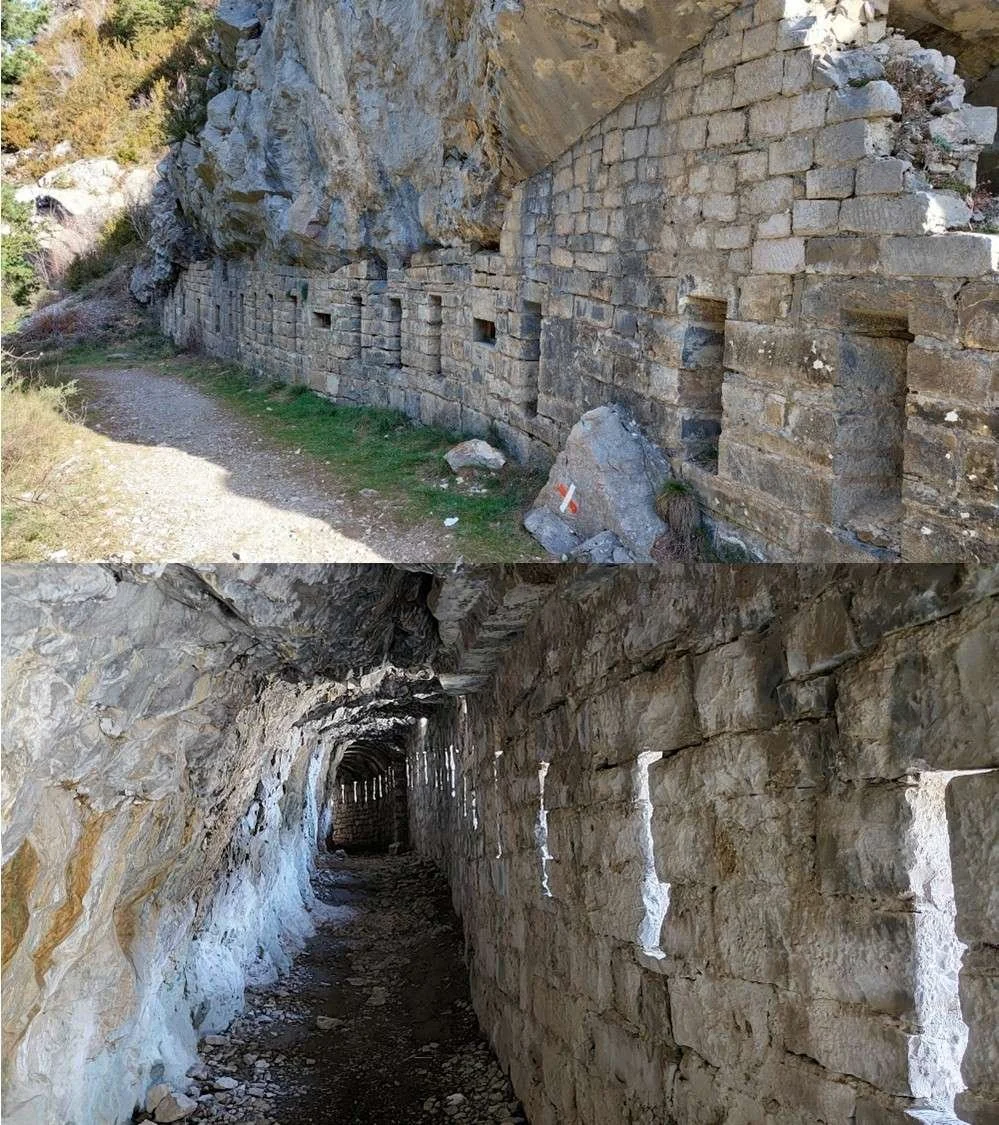
Part of the P-Line fortifications built by Franco
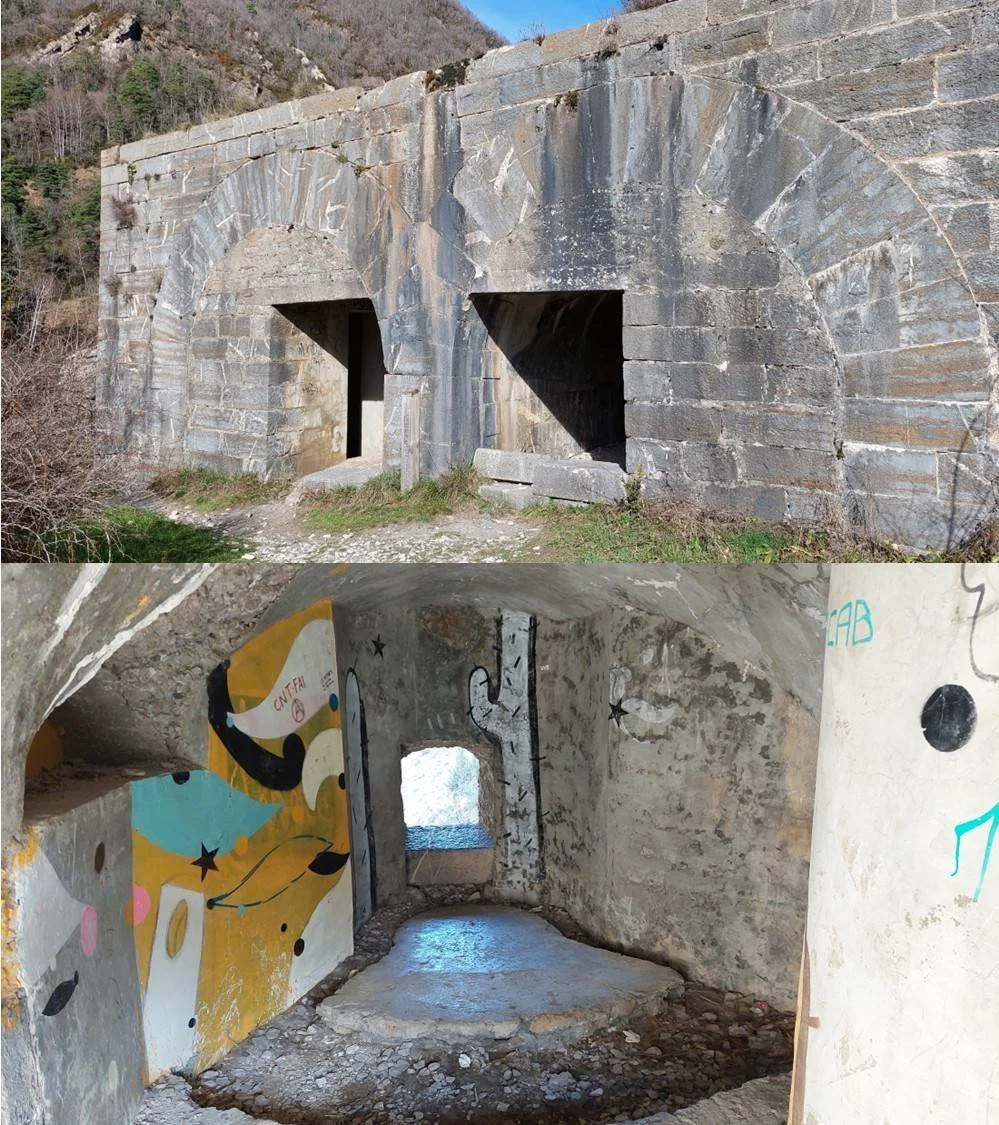
Anti-tank bunkers forming part of the P-Line fortifications
These fortifications are part of the P-Line which stretched from one end of the Pyrenees to the other (‘P’ stands for Pyrenees). It was built by Franco at the end of the Second World War when he feared that, once they had finished with Hitler and Mussolini, the Allies might invade Spain and put an end to the last fascist dictator in Europe.
From here, return to the twisty road and continue climbing until you reach the Fort of Santa Elena, built in the 16th century and partially destroyed by Napoleon’s troops during the Peninsular War. Behind the fort, follow a path for 150 metres until you reach the Hermitage of Santa Elena, founded by James I of Aragon in 1221. It will be locked, but in compensation, you can admire the landscape and imagine how much more evidence of human history is hiding in quiet corners of the Pyrenees.
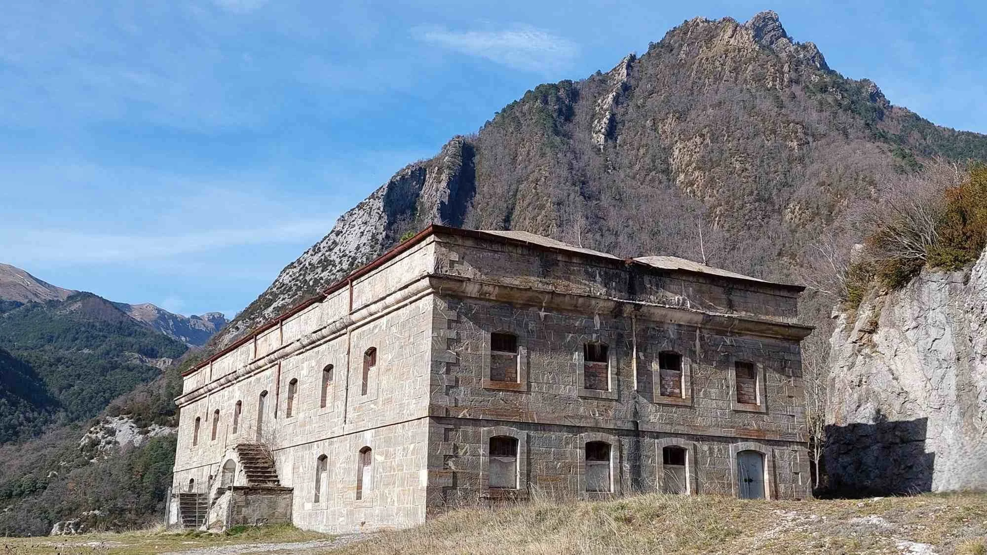
The Fort of Santa Elena was built in the 16th century
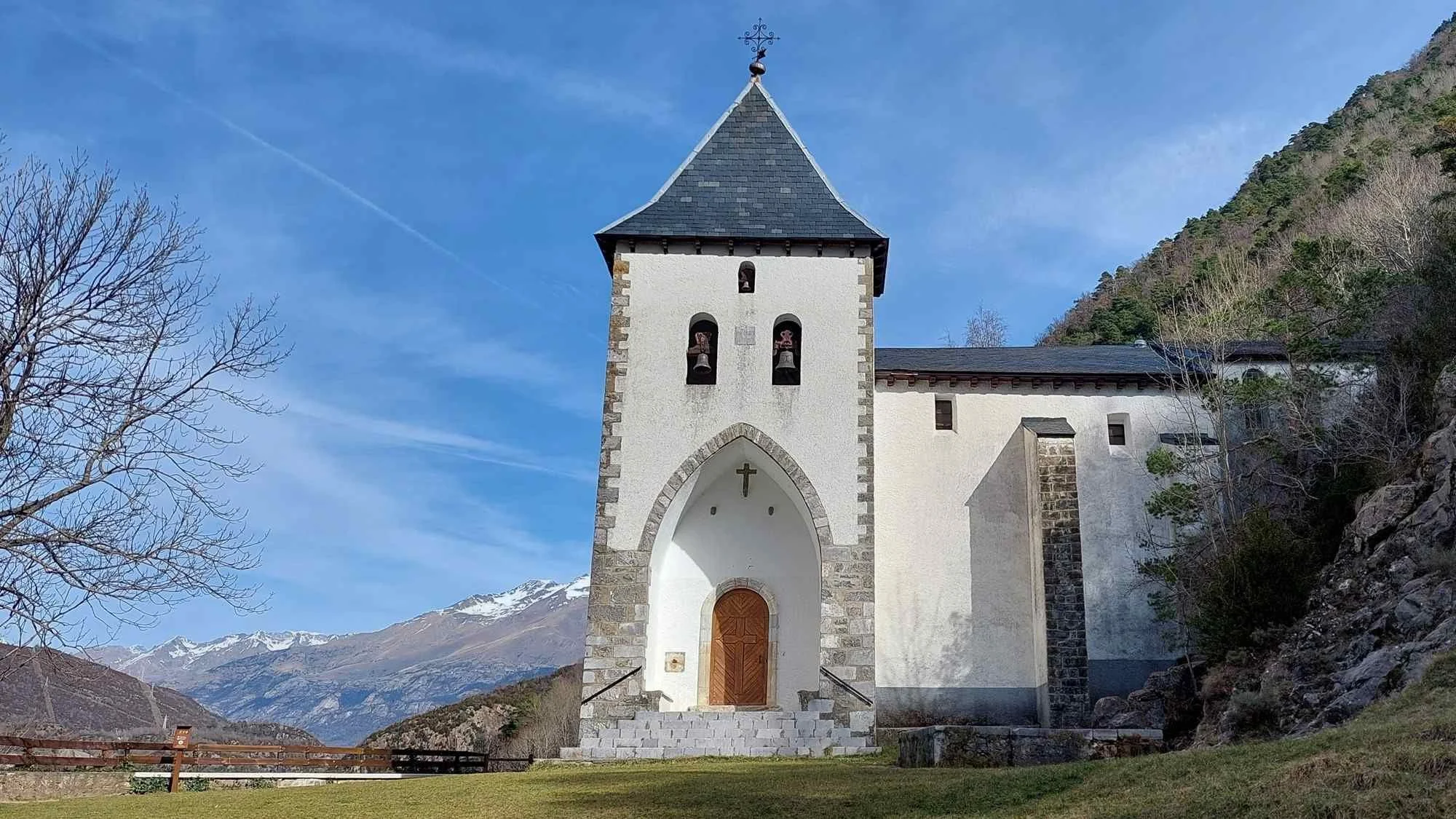
Hermitage of Santa Elena, founded by James I of Aragon in 1221
READ MORE about megaliths in the Pyrenees.
